Biomass Estimation Using ALOS PALSAR for Identification of Lowland Forest Transition Ecosystem in Jambi Province
Abstract
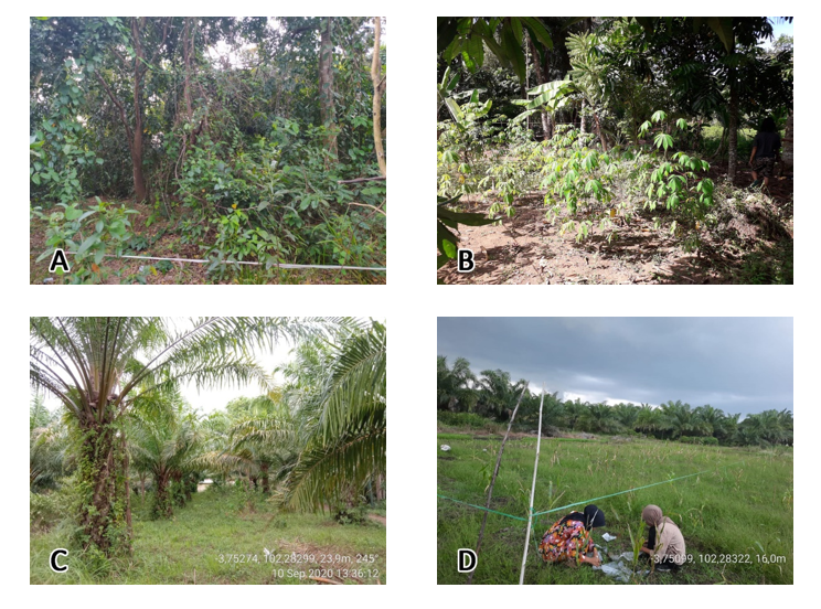
The accurate information derived from high accuracy of remote sensing imagery analyses coupled with field observation data are required to develop a sound forest management. The study is mainly emphasized on assessment of the capabilities of remote sensing imageries to identify ecosystem types within the transitional ecosystem. Since, the predominant transition ecosystems found within the study area were secondary forest, rubber jungle, rubber, oil palm plantation, and also other land cover such as mixed plantation and shrubs, therefore, the models developed were focused for those ecosystem types. Prior to any further analysis, this study was initiated to develop the biomass estimation model using 50 m resolution of ALOS PALSAR image in transition ecosystem, Jambi Province. Biomass models were developed by analyzing the relationship between backscatter magnitude and field biomass. Backscatter magnitude from 1 polarization images, namely HH, HV, and one additional band of ratio of HH/HV were analyzed simultaneously with field biomass. The best models established are AGB = 42,069 exp (0.510 HV) and AGB = 1,610 exp (-0.02 HV²) with R² of 52.3% and 50,8%, respectively. The models are then used to map out the biomass distribution within the transition ecosystem and to identify the factors affecting the magnitude of biomass content for all transition ecosystem types.


