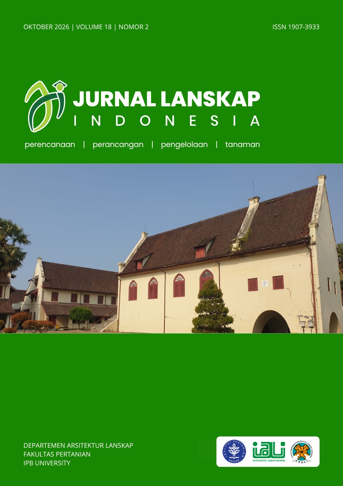
The Framework of Floodplain Rejuvenation Priorities for Urban Flood Mitigation: Case Study Sail River, Pekanbaru, Indonesia
DOI:
https://doi.org/10.29244/jli.v18i2.64866Keywords:
disaster mitigation, GIS-MCDA, landscape resillience, river floodplain, urban flood, waterfront landscapeAbstract
Flood has become an inevitable disaster for cities, especially those with rivers flowing through their urban areas. Urban development often encroaches upon natural river floodplain features, significantly increasing flood risk. The purpose of this study is to develop and implement a GIS-based multi-criteria decision framework to prioritize floodplain rejuvenation areas for urban flood mitigation in Pekanbaru City, Indonesia. A GIS-based analytic hierarchy process was employed to assess floodplain rejuvenation priorities based on four criteria: 1) flood, 2) environment, 3) policy, and 4) socio-economy. The framework was applied to a case study of the Sail River in Pekanbaru City, Indonesia, which faces recurrent annual flooding. The Sail River runs through densely populated areas of the city, and its floodplain was delineated using automatic methods, identifying a total of 753 ha. This study highlights that current spatial policies must be revised to preserve green open space within the floodplain. Importantly, it advocates for the adoption of a waterfront landscape paradigm, encouraging a cultural shift where rivers are seen not as waste disposal sites but as vital front-facing elements of the urban environment. Such perceptional changes are critical in promoting sustainable river management and enhancing community resilience to floods.This approach enables decision-makers to establish a mitigation plan based on three priority levels (high, moderate, low), covering a total of 584.23 ha (77.44% of the identified floodplain). The results offer practical insights for targeted and effective urban flood mitigation and demonstrate the framework’s potential applicability in other cities facing similar flood-related challenges.
Downloads
References
Adjie P, Santika P. 2021. Is Surabaya Being Planned as a Low-risk City?. International Review for Spatial Planning and Sustainable Development 9(1): 78-92. https://doi.org/10.14246/irspsda.9.1_78
Amoros C, Wade PM. 1996. Ecological Successions. In G. E. Petts & C. Amoros (Eds.), The Fluvial Hydrosystems (pp. 211-241). Springer Netherlands. https://doi.org/10.1007/978-94-009-1491-9_10
Arifin HS. 2014. Revitalisasi Manajemen Ruang Terbuka Biru (RTB) Bagi Perencanaan “Water Front Landscape” yang Berkelanjutan. Seminar Nasional Arsitektur Lahan Basah Tepian Sungai; 11-12 November 2014: Palembang: Indonesia.
Arkham H, Arifin HS, Kaswanto RL. 2014. Strategi Pengelolaan Lanskap Ruang Terbuka Biru di Daerah Aliran Sungai Ciliwung. Jurnal Lanskap Indonesia 6(1): 1-5. https://doi.org/10.29244/jli.v6i1.18125
Baptist MJ, Penning WE, Duel H, Smits AJM, Geerling GW, Van der Lee GEM, Van Alphen JSL. 2004. Assessment of the Effects of Cyclic Floodplain Rejuvenation on Flood Levels and Biodiversity Along the Rhine River. River Research and Applications 20(3): 285-297. https://doi.org/10.1002/rra.778
BPS Pekanbaru. 2021. Pekanbaru Municipality in Figures.
Buchori I, Pramitasari A, Sugiri A, Maryono M, Basuki Y, Sejati AW. 2018. Adaptation to Coastal Flooding and Inundation: Mitigations and Migration Pattern in Semarang City, Indonesia. Ocean & Coastal Management 163: 445-455. https://doi.org/10.1016/j.ocecoaman.2018.07.017
Buijse AD, Klijn F, Leuven RSEW, Middelkoop H, Schiemer F, Thorp JH, Wolfert HP. 2005. Rehabilitation of Large Rivers: References, Achievements and Integration into River Management. Archiv fur Hydrobiologie Supplement 155: 1-4.
Chanthamas Y, Anantasuksomsri S, Tontisirin N. 2017. Review of Urban Flood Impact Reduction Due to Climate Change Adaption Driven by Urban Planning Management in Pathumthani Province, Thailand. International Review for Spatial Planning and Sustainable Development 5(4): 42-53. https://doi.org/10.14246/irspsd.5.4_42
Edamo ML, Ukumo TY, Lohani TK, Ayana MT, Ayele MA, Mada ZM, Abdi DM. 2022. A Comparative Assessment of Multi-criteria Decision-making Analysis and Machine Learning Methods for Flood Susceptibility Mapping and Socio-economic Impacts on Flood Risk in Abela-Abaya Floodplain of Ethiopia. Environmental Challenges 9: 100629. https://doi.org/10.1016/j.envc.2022.100629
Forman RTT, Godron M. 1986. Landscape Ecology. Wiley.
Fulazzaky MA. 2014. Challenges of integrated water resources management in Indonesia. Water 6(7): 2000-2020. https://doi.org/10.3390/w6072000
Indonesia, Pemerintah Republik. 2007. Undang-Undang Republik Indonesia Nomor 26 Tahun 2007 Tentang Penataan Ruang. Jakarta, Sekretariat Negara.
Kaswanto RL, Ilmi MR, Nurhayati HSA. 2023. Waterfront City Management to Realize Low Carbon Landscape in Pekanbaru City, Indonesia. International Journal of Conservation Science 14 (3): 1151-1162. https://doi.org/10.36868/IJCS.2023.03.24.
Khattak MS, Anwar F, Saeed TU, Sharif M, Sheraz K, Ahmed A. 2016. Floodplain Mapping using HEC-RAS and ArcGIS: A Case Study of Kabul River. Arabian Journal for Science and Engineering 41: 1375-1390. https://doi.org/10.1007/s13369-015-1915-3
Koutalakis P, Gkiatas G, Iakovoglou V, Zaimes GN. 2023. New Technologies to Assess and Map an Urban Riparian Area in Drama, Greece, and Determine Opportunity Sites for Litter Traps. Sustainability 15(21): 15620. https://doi.org/10.3390/su152115620
Li L, Uyttenhove P, Van Eetvelde V. 2020. Planning Green Infrastructure to Mitigate Urban Surface Water Flooding risk–A Methodology to Identify Priority Areas Applied in the City of Ghent. Landscape and Urban Planning 194: 103703.
Marfai MA, King L. 2008. Coastal Flood Management in Semarang, Indonesia. Environmental Geology 55: 1507-1518. https://doi.org/10.1007/s00254-007-1101-3
Narendra BH, Siregar CA, Dharmawan IWS, Sukmana A, Pramono IB, Basuki TM, Nandini R. 2021. A Review on Sustainability of Watershed Management in Indonesia. Sustainability 13(19): 11125. https://doi.org/10.3390/su131911125
Nasution BI, Saputra FM, Kurniawan R, Ridwan AN, Fudholi A, Sumargo B. 2022. Urban vulnerability to floods investigation in Jakarta, Indonesia: A hybrid optimized fuzzy spatial clustering and news media analysis approach. International Journal of Disaster Risk Reduction 83, 103407. https://doi.org/10.1016/j.ijdrr.2022.103407
Neise T, Diez JR. 2019. Adapt, Move or Surrender? Manufacturing Firms’ Routines and Dynamic Capabilities on Flood Risk Reduction in Coastal Cities of Indonesia. International Journal of Disaster Risk Reduction 33: 332-342. https://doi.org/10.1016/j.ijdrr.2018.10.018
Noman NS, Nelson EJ, Zundel AK. 2001. Review of Automated Floodplain Delineation from Digital Terrain Models. Journal of Water Resources Planning and Management 127(6): 394-402. https://doi.org/10.1061/(ASCE)0733-9496(2001)127:6(394)
Nurisjah S, Anisa L. 2011. Perencanaan Lanskap Riparian Sungai Martapura untuk Meningkatkan Kualitas Lingkungan Alami Kota Banjarmasin. Jurnal Lanskap Indonesia 3(1).
Pacetti T, Cioli S, Castelli G, Bresci E, Pampaloni M, Pileggi T, Caporali E. 2022. Planning Nature Based Solutions Against Urban Pluvial Flooding in Heritage Cities: A Spatial Multi Criteria Approach for the City of Florence (Italy). Journal of Hydrology: Regional Studies 41: 101081. https://doi.org/10.1016/j.ejrh.2022.101081
Putri P, Zain AF. 2010. Analisis Spasial dan Temporal Perubahan Luas Ruang Terbuka Hijau di Kota Bandung. Jurnal Lanskap Indonesia 2(2).
Rohmat FIW, Sa’adi Z, Stamataki I, Kuntoro AA, Farid M, Suwarman R. 2022. Flood Modeling and Baseline Study in Urban and High Population Environment: A Case Study of Majalaya, Indonesia. Urban Climate 46: 101332. https://doi.org/10.1016/j.uclim.2022.101332
Saaty TL. 2004. Decision Making—the Analytic Hierarchy and Network Processes (AHP/ANP). Journal of Systems Science and Systems Engineering 13(1), 1-35. https://doi.org/10.1007/s11518-006-0151-5
Safaripour M, Monavari M, Zare M, Abedi Z, Gharagozlou A. 2012. Flood Risk Assessment Using GIS (Case study: Golestan Province, Iran). Pol. J. Environ. Stud 21(6): 1817-1824.
Shankman D, Smith LJ. 2004. Stream Channelization and Swamp Formation in the US Coastal plain. Physical Geography 25(1): 22-38. https://doi.org/10.2747/0272-3646.25.1.22
Sisriany S, Sulistyantara B, Budiarti T. 2021. Multicriteria Potential Mapping for Mangrove Ecotourism in Batu Ampar, West Kalimantan. IOP Conference Series: Earth and Environmental Science 879(1): 012023. IOP Publishing. https://doi.org/10.1088/1755-1315/879/1/012023
Stanford JA, Lorang MS, Hauer FR. 2005. The Shifting Habitat Mosaic of River Ecosystems. Internationale Vereinigung für Theoretische und Angewandte Limnologie: Verhandlungen 29(1): 123-136. https://doi.org/10.1080/03680770.2005.11901979
Sutrisno AJ, Arifin HS, Kaswanto RL. 2020. Prediction and Correlation Analysis between Water Discharge and Rainfall in Ciliwung River, Bogor City. Jurnal Pengelolaan Sumberdaya Alam dan Lingkungan (Journal of Natural Resources and Environmental Management) 10(1): 25-33. https://doi.org/10.29244/jpsl.10.1.25-33
Suwarsono S, Yulianto F, Fitriana HL, Nugroho UC, Sukowati KAD, Khomarudin MR. 2021. Detecting the Surface Water Area in Cirata dam Upstream Citarum Using a Water Index from Sentinel-2. International Journal of Remote Sensing and Earth Sciences (IJReSES) 17(1): 1-8.
Ulfah F, Nurhayati, Arifin HS. 2018. Kajian Sosial-Budaya Masyarakat pada Lanskap Riparian Sungai Ciliwung. Jurnal Lanskap Indonesia 9(2): 110-119. https://doi.org/10.29244/jli.v9i2.17911
Valett HM, Baker MA, Morrice JA, Crawford CS, Molles Jr MC, Dahm CN, Moyer DL, Thibault JR, Ellis LM. 2005. Biogeochemical and Metabolic Responses to the Flood Pulse in a Semiarid Floodplain. Ecology 86(1): 220-234. https://doi.org/10.1890/03-4091
Ward JV, Tockner K, Schiemer F. 1999. Biodiversity of floodplain River Ecosystems: Ecotones and Connectivity. River Research and Applications 15(1–3): 125-139. https://doi.org/10.1002/(SICI)1099-1646(199901/06)15:1/3<125::AID-RRR523>3.0.CO;2-E
Wardiningsih S, Salam BF. 2019. Perencanaan RTH Sempadan Sungai Ciliwung di Kawasan Kampung Pulo dan Bukit Duri Jakarta. NALARs 18(1): 65-74.
Widodo K, Damayanti VD, Hadi S. 2012. Perencanaan Lanskap Sungai Kelayan sebagai Upaya Revitalisasi Sungai di Kota Banjarmasin Kalimantan Selatan. Jurnal Lanskap Indonesia 4(1).
Yuliati Y, Sumiarsih E, Efawani, Fauzi M, Suryo G. 2021. Water Quality and its Relationship to Tides and Ebbs on the Sail River, Pekanbaru City, Riau Province, Indonesia. IOP Conference Series: Earth and Environmental Science 934: 012072. https://doi.org/10.1088/1755-1315/934/1/012072
Downloads
Published
Issue
Section
License
Copyright (c) 2026 Saraswati Sisriany, Muchammad Fadhillah Asyari, Bima Wahyu Nugroho, Alfeus Johnson Armada Hasibuan, Harezia Rayhan Fadhli

This work is licensed under a Creative Commons Attribution 4.0 International License.
This journal permits and encourages authors to post items submitted to the journal on personal websites or institutional repositories both prior to and after publication, while providing bibliographic details that credit, if applicable, its publication in this journal. However, after the article is submitted and published in this journal, it is fully copyrighted by the Jurnal Lanskap Indonesia or JLI. If excerpts from other copyrighted works are included, the author must obtain written permission from the copyright owner and give credit to the source in the article. Then, the writer or reader is allowed to copy, share, and redistribute articles/material in any form. But it must still include the appropriate source and credit because the article in this journal is licensed by Creative Commons Attribution 4.0 International License (CC BY 4.0).
I. Proposed Policy for Journals That Offer Open Access
Authors who publish with this journal agree to the following terms:
- Authors retain copyright and grant the journal right of first publication with the work simultaneously licensed under a Creative Commons Attribution License that allows others to share the work with an acknowledgement of the work's authorship and initial publication in this journal.
- Authors are able to enter into separate, additional contractual arrangements for the non-exclusive distribution of the journal's published version of the work (e.g., post it to an institutional repository or publish it in a book), with an acknowledgement of its initial publication in this journal.
- Authors are permitted and encouraged to post their work online (e.g., in institutional repositories or on their website) prior to and during the submission process, as it can lead to productive exchanges, as well as earlier and greater citation of published work (See The Effect of Open Access).
II. Proposed Policy for Journals That Offer Delayed Open Access
Authors who publish with this journal agree to the following terms:
- Authors retain copyright and grant the journal right of first publication, with the work after publication simultaneously licensed under a Creative Commons Attribution License that allows others to share the work with an acknowledgement of the work's authorship and initial publication in this journal.
- Authors are able to enter into separate, additional contractual arrangements for the non-exclusive distribution of the journal's published version of the work (e.g., post it to an institutional repository or publish it in a book), with an acknowledgement of its initial publication in this journal.
- Authors are permitted and encouraged to post their work online (e.g., in institutional repositories or on their website) prior to and during the submission process, as it can lead to productive exchanges, as well as earlier and greater citation of published work (See The Effect of Open Access).