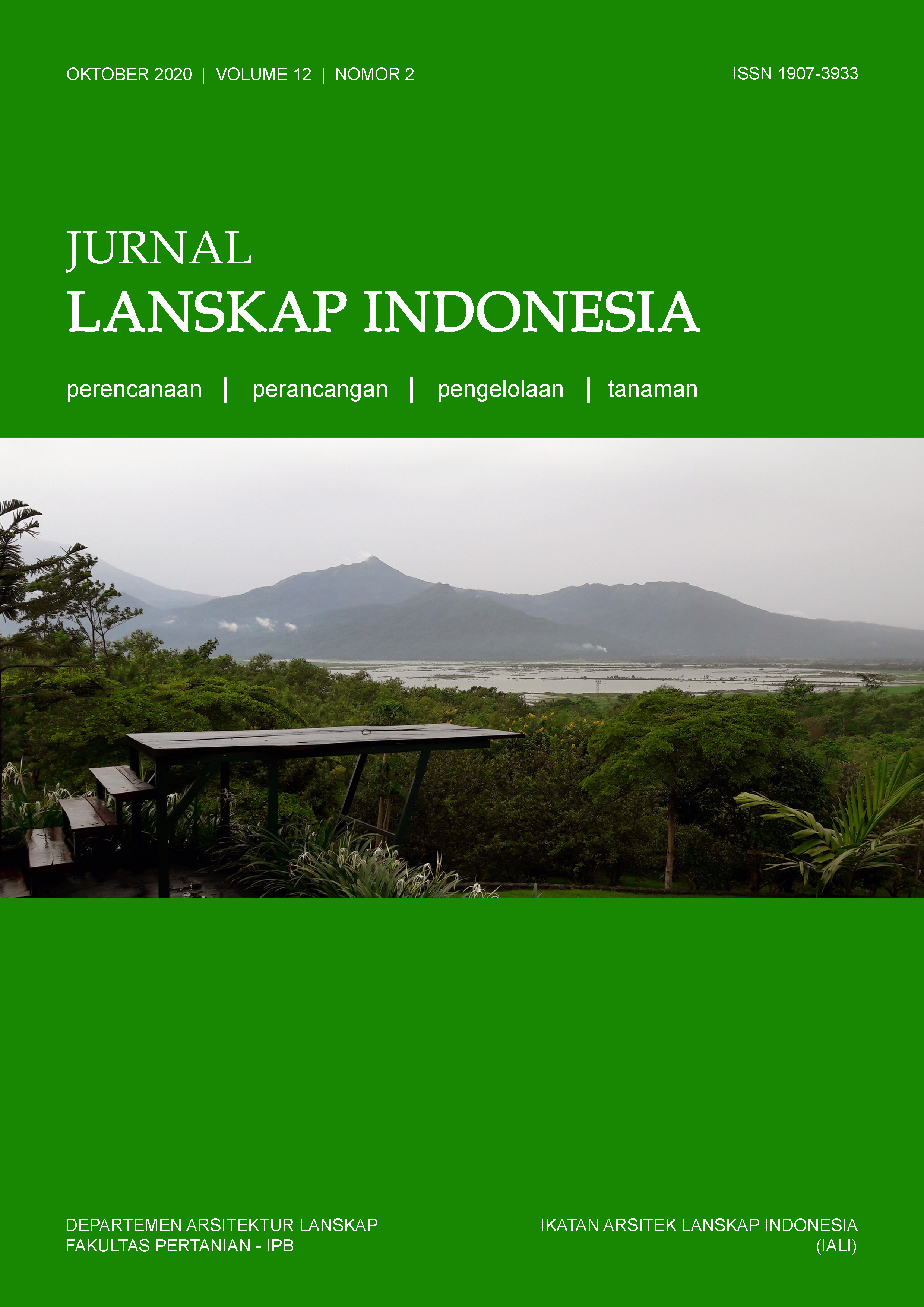
Perencanaan Lanskap Mitigasi Tsunami Berbasis Ekosistem Mangrove di Kota Palu
Abstract
The coastal areas are vulnerable areas to disaster threats, especially the geological hazards of earthquakes accompanied by tsunamis. Palu City, which is located on the west coast of Sulawesi, experienced a natural disaster of an earthquake, tsunami, and liquefaction on September 28, 2018. Based on the Map of Disaster Prone Index in Central Sulawesi Province, Palu City is a tsunami-prone area that is crossed by the Palu-Koro Fault. Tsunami disaster mitigation efforts in coastal areas can be done by planting mangrove ecosystems as a green barrier. The purpose of this study is to analyze the characteristics of the coastal landscape in Palu City and plan the landscape of tsunami mitigation based on mangrove ecosystems in Palu City. The method used spatial analysis method and descriptive method, as well as the research stage, consists of preparation, data analysis, data synthesis, and landscape planning stage. The basic concept of tsunami mitigation landscape planning is to reduce or eliminate disaster risk in coastal areas based on mangrove ecosystems. The concept of spatial pattern concept consists of high hazard zones, medium hazard zones, and low hazard zones. The concept of vegetation refers to the diversity of mangrove and native plant species as green open spaces and green barriers.
Downloads
This journal permits and encourages authors to post items submitted to the journal on personal websites or institutional repositories both prior to and after publication, while providing bibliographic details that credit, if applicable, its publication in this journal. However, after the article is submitted and published in this journal, it is fully copyrighted by the Jurnal Lanskap Indonesia or JLI. If excerpts from other copyrighted works are included, the author must obtain written permission from the copyright owner and give credit to the source in the article. Then, the writer or reader is allowed to copy, share, and redistribute articles/material in any form. But it must still include the appropriate source and credit because the article in this journal is licensed by Creative Commons Attribution 4.0 International License (CC BY 4.0).
I. Proposed Policy for Journals That Offer Open Access
Authors who publish with this journal agree to the following terms:
- Authors retain copyright and grant the journal right of first publication with the work simultaneously licensed under a Creative Commons Attribution License that allows others to share the work with an acknowledgement of the work's authorship and initial publication in this journal.
- Authors are able to enter into separate, additional contractual arrangements for the non-exclusive distribution of the journal's published version of the work (e.g., post it to an institutional repository or publish it in a book), with an acknowledgement of its initial publication in this journal.
- Authors are permitted and encouraged to post their work online (e.g., in institutional repositories or on their website) prior to and during the submission process, as it can lead to productive exchanges, as well as earlier and greater citation of published work (See The Effect of Open Access).
II. Proposed Policy for Journals That Offer Delayed Open Access
Authors who publish with this journal agree to the following terms:
- Authors retain copyright and grant the journal right of first publication, with the work after publication simultaneously licensed under a Creative Commons Attribution License that allows others to share the work with an acknowledgement of the work's authorship and initial publication in this journal.
- Authors are able to enter into separate, additional contractual arrangements for the non-exclusive distribution of the journal's published version of the work (e.g., post it to an institutional repository or publish it in a book), with an acknowledgement of its initial publication in this journal.
- Authors are permitted and encouraged to post their work online (e.g., in institutional repositories or on their website) prior to and during the submission process, as it can lead to productive exchanges, as well as earlier and greater citation of published work (See The Effect of Open Access).


