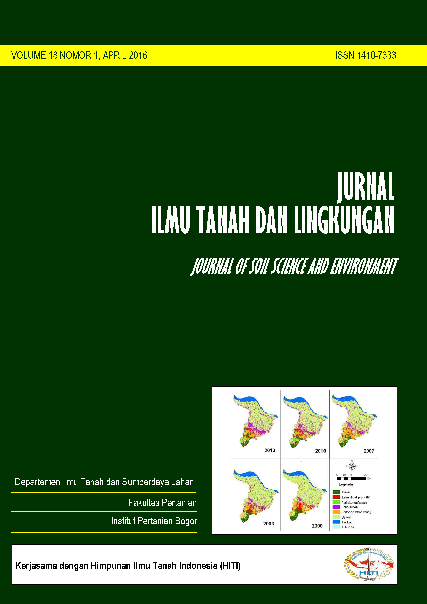
Land Use Change Pattern and the Balance of Food Production in Karawang District
Pola Perubahan Penggunaan Lahan dan Neraca Pangan di Kabupaten Karawang
Abstract
Karawang Regency is one of the rice production centers in West Java. However, the dynamics of land use and land cover changes in the region are estimated to be high because of its proximity to the nation’s capital. These dynamics have led to changes in rice production. This research was conducted to study the patterns of land use and land cover change over the period of 2000-2013 and its relation to the balance of food production. Changes in land use and land cover were identified by the use of Landsat TM imagery of 2000, 2003, 2007, 2010 and 2013. The production and productivity of rice were obtained from the statistical data of Karawang Regency, 2001-2014. The results showed that in the period between 2000 and 2013, paddy fields identified from imagery were decreased from 116,268 ha in 2000 to become 103,866 ha in 2013. The most extensive changes in land use and land cover were the changes from the rice to the settlements. The most dominant area of the increased settlement comes from the paddy fields and dryland agriculture. The average decrease of paddy fields during 2000-2013 was 0.93% per year. This has resulted in a decrease in the contributions of Karawang to export rice for surrounding regions by 5% during the last 13 years.
Keywords: Balance of food production, paddy fields, the pattern of land-use change
Downloads
Department of Soil Science and Land Resources Departemen Ilmu Tanah dan Sumberdaya Lahan, Faculty of Agriculture Fakultas Pertanian, IPB University


