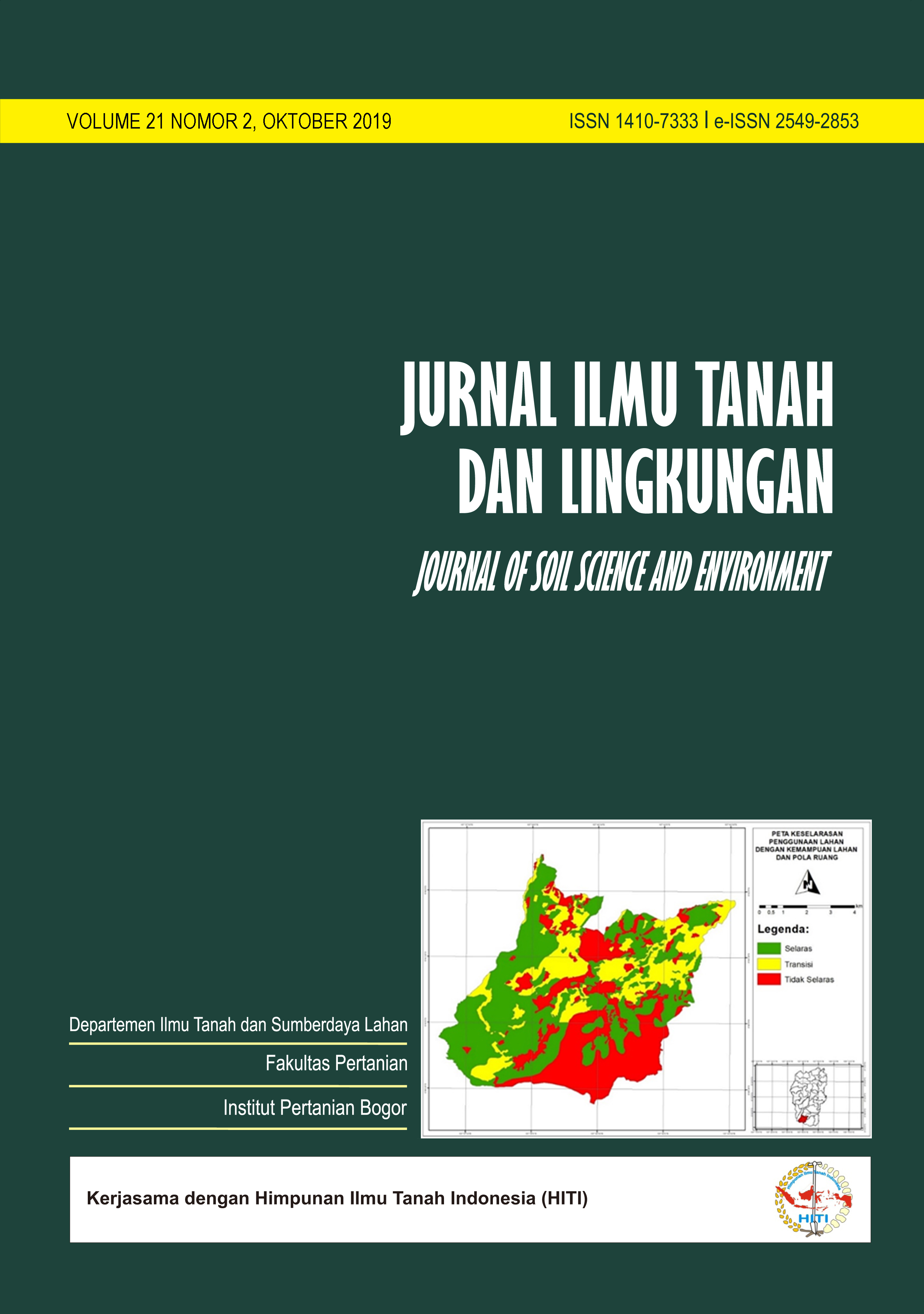
Dinamics of Land Use/Cover and Its Conformity with Spatial Plan, and Land Carrying Capacity; Case Study in Ciater Sub District, Subang Regency, West Java Province
Dinamika Penggunaan/Tutupan Lahan dan Keselarasannya dengan Pola Ruang dan Daya Dukung Lahan; Studi Kasus di Kecamatan Ciater, Kabupaten Subang, Provinsi Jawa Barat
Abstract
Ciater Sub-District is included in the southern part of Subang District which has a strategic function as a water catchment area, including natural reserves, nature tourism park and production forest. This condition needs to be controlled appropriately and sustainable. It should be noted that natural resource management for economic purposes sometimes ignores environmental factors. Therefore, there is a need for continuity between land use with spatial patterns and land carrying capacity (land capability), so there is no damage/disaster. This study aims to determine the types of land use/cover in 2006 and 2019 and their changes, to evaluate conformity of land use 2019 with spatial planning Subang District 2011-2031, and the carrying capacity of the land as well as the land value zone information on each combination of conformity. The basic methods used included geographic information systems (visual delineation, overlays, queries) and logical conformity matrices and land capability analysis by collecting data from field observations. The results showed that the most extensive land use/cover in each year was secondary forest with medium density with a percentage of 22.72% (2006), and 18.85% (2019). The most extensive pattern of change was from secondary forests of moderate density in 2006 to mixed gardens in 2019 with an percent area of 25.25% (173.35 ha). Land capability classes II, III and IV in Ciater District are 79.89%, while land capability classes VI are 20.11%. The analysis shows that the percent area of 57.25% conformed, 20.44% is not-conformed, while 22.30% is a transition. Thus, land in the study area is still relatively good in terms of conformity between the land carrying capacity with the existing policy. However, the occurrence of disasters at certain location points needs to get attention for all parties to be mitigated. Other results show, land conformity does not depend on land value, because on land that is conform (S) and not conform (TS), both have low land values. In land use planning, ecological and economic aspects are important aspects that need attention.
Downloads
References
Arsyad, S. 2010. Konservasi Tanah dan Air. Bogor (ID): IPB Press.
Badan Pusat Statistik Provinsi Jawa Barat. 2018. Kunjungan wisatawan ke Obyek Wisata Menurut Kabupaten/Kota di Jawa Barat: BPS Provinsi Jawa Barat.
Badan Standardisasi Nasional. 2014. Standar Nasional Indonesia (SNI) Klasifikasi Penutupan Lahan-Bagian I Skala Kecil dan Menengah. Jakarta (ID): Badan Standardisasi Nasional.
Badan Perencanaan Pembangunan Penelitian dan Pengembangan Daerah. 2018. Rancangan Awal Rencana Pembangunan Jangka Menengah Daerah (RPJMD) Kabupaten Subang Tahun 2018-2023.
Boavida, I, J. Rocha, C.C Ferreira. 2016. Exploring the impact of future tourism development on land use/cover changes. Applied Geography, 77: 82-91. https://doi.org/10.1016/j.apgeog.2016.10.009
Ekpodessi, S.G.N, and H. Nakamura. 2018. Land use and management in Benin Republic: An evaluation of the effectiveness of Land Law 2013-01. Land Use Policy, 78: 61-69. https://doi.org/10.1016/j.landusepol.2018.06.025.
Fahmi, F, S.R.P Sitorus, dan A. Fauzi. 2016. Evaluasi pemanfaatan penggunaan lahan berbasis rencana pola ruang Kota Baubau, Provinsi Sulawesi Tenggara. J. Tata Loka, 18 (1): 27-39.
Hardjowigeno, S. dan Widiatmaka. 2007. Evaluasi Kesesuaian Lahan dan Perencanaan Tataguna Lahan. Yogyakarta. (ID): Gadjah Mada University Press.
Lynn, I.H, A.K. Manderson, M.J. Page, G.R. Harmsworth, G.O. Eyles, G.B. Douglas, A.D. Mackay, and P.J.F. Newsome. 2009. Land Use Capability Survey Handbook – a New Zealand handbook for the Classification of Land 3rd ed. Hamilton, AgResearch: Lincoln, Landcare Research: Lower Hutt, GNS Science.
Mulya, S.P., E. Rustiadi, W.F. Chan, A.E. Pravitasari. 2019. Perubahan Tutupan Lahan dan Keselarasan dengan Kebijakan Ruang di Sub DAS Ciliwung Hulu. Prosiding Seminar Nasional Asosiasi Sekolah Perencanaan Indonesia (ASPI) 2019. hal 104-114.E-ISBN 978-623-91612-0-0
Nakamura, H. 2019. Relationship among land price, entrepreneurship, the environment, economics, and social factors in the value assessment of Japanese cities. J. of Cleaner Production, 217:144-152. https://doi.org/10.1016/j.jclepro.2019.01.201
Pikiran Rakyat. 2016. Sari Ater Subang penuh sesak. https://www.pikiran-rakyat.com/jawa-barat/pr-01270692/sari-ater-subang-penuh-sesak-388792
Pemerintah Daerah Kabupaten Subang. 2014. Peraturan Daerah Kabupaten Subang Nomor 3 Tahun 2014 tentang Rencana Tata Ruang Wilayah Kabupaten Subang Tahun 2011-2031. Subang (ID): Pemerintah Daerah Kabupaten Subang.
Qu, Y, and H. Long. 2018. The Economic and environmental effect of land use transitions under rapid urbanization and the implications for land use management. Habitat International, 82: 113-121. https://doi.org/10.1016/j.habitatint.2018.10.009
Sitorus, S.R.P. 2017. Perencanaan Penggunaan Lahan. Bogor (ID): IPB Press.
Sitorus, S.R.P, E. Mustamei, dan S.P. Mulya. 2019. Keselarasan penggunaan lahan dengan pola ruang dan arahan pengembangan ruang terbuka hijau di Kabupaten Bengkulu Selatan. J. Ilmu Tanah dan Lingkungan, 21(1): 21-29. https://doi.org/10.29244/jitl.21.1.21-29
Wang, J, T. He, Y. Lin. 2018. Changes in ecological, agricultural, and urban land space in 1984-2012 in China: Land policies and regional social-economical drivers. Habitat International, 71: 1-13. https://doi.org/10.1016/j.habitatint.2017.10.010
Department of Soil Science and Land Resources Departemen Ilmu Tanah dan Sumberdaya Lahan, Faculty of Agriculture Fakultas Pertanian, IPB University


