Natural Hazards Analysis in Baleendah District, Bandung Regency, West Java
Analisis Bahaya Alami (Natural Hazards) Di Kecamatan Baleendah Kabupaten Bandung Jawa Barat
Abstract
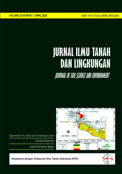
Flood disasters in Baleendah District (Bandung Regency) which occur every year often cause hundreds of hectares of paddy fields to fail in harvesting. Meanwhile, rapid land use changes occurred in the plain area has caused many paddy fields have turned into settlements, while many of slopes of hills area have turned into barelands caused by rock mining activities. This kind of activity can reduce slope stability and facilitate landslides in the future. Studying the natural hazards for this region becomes important for disaster mitigation needs in the future. The purpose of this study is to map land use and assess flood and landslide hazards in Baleendah District. The research method includes land use visual interpretation from Quickbird imagery, Pairwise Comparison analysis to obtain the weight and score of flood and landslide hazards parameters, and Multi Criteria Evaluation (MCE) analysis to assess the natural hazards. The results showed that the interpretation of Quickbird imagery produced 12 types of land use dominated by settlement types (31.17%) and rice fields (30.90%). From Pairwise Comparison analysis, it was found that the sequence of weights of flood hazard parameters were inundation duration (0.50), inundation frequency (0.33), and inundation depth (0.17), while for landslide hazards were slope steepness (0.50), land use (0.33), and slope form (0.17). Based on the participatory flood-prone mapping, it was found that flood-prone areas were only spread in one village, i.e. Andir Village, while for landslide-prone areas were spread in 5 villages. The results of Multi Criteria Evaluation (MCE) analysis showed that the high and medium class of flood hazards covered 128.99 ha and 34.76 ha respectively, while high, medium and low class of landslide hazards covered 281.62 ha, 940.84 ha and 124.69 ha respectively. Controlling land use change is a good choice to do in this region to reduce natural hazards in the future.
Downloads
References
[BNPB] Badan Nasional Penanggulangan Bencana. 2012. Peraturan Kepala Badan Nasional Penanggulangan Bencana Nomor 02 Tahun 2012 tentang Pedoman Umum Pengkajian Risiko Bencana. Badan Nasional Penanggulangan Bencana, Jakarta.
[BNPB] Badan Nasional Penanggulangan Bencana. 2018. Info Bencana. [Internet]. [diunduh 2018 Juli 26]. Tersedia pada: http://bnpb.cloud/dibi/tabel1a.
Damanik, B.S.D. 2015. Prediksi bahaya longsor dan penilaian faktor utama penyebab longsor di Wilayah DAS Kali Bekasi bagian hulu [Tesis]. Institut Pertanian Bogor, Bogor.
Dasanto, D.B., B. Pramudya, R. Boer dan Y. Suharnoto. 2014. Effect of forest cover changes on flood characteristics upper Citarum waterhed. Tropical Forest Management. 20(3): 141-149.
Hannan, M.F.I. 2017. Penilaian risiko dan arahan mitigasi bencana banjir di wilayah cekungan Bandung [Skripsi]. Institut Pertanian Bogor, Bogor.
Ikqra, B. Tjahjono dan E Sunarti. 2012. Studi geomorfologi Pulau ternate dan penilaian bahaya longsor. J. Tanah Lingk. 14(1): 1-6
Kumala, S.A.S. 2018. Analisis bahaya banjir di Kecamatan Bojongsoang Kabupaten Bandung [Skripsi]. Institut Pertanian Bogor, Bogor.
Muin, S.B., R. Boer dan Y. Suharnoto. 2015. Pemodelan dan analisis kerugian akibat bencana banjir di DAS Citarum Hulu. Jurnal Tanah dan Iklim. 39(2): 75-84.
[PVMBG] Pusat Vulkanologi dan Mitigasi Bencana Geologi. 2018. Peta Prakiraan Wilayah Terjadinya Gerakan Tanah pada Bulan Februari 2018, Provinsi Jawa Barat. Badan Geologi, Kementerian Energi Sumber Daya Mineral, Jakarta.
Sulfa, A.M. 2017. Analisis Daya Dukung Bentang Lahan di DAS Cisangkuy untuk Tata Air dan Pengendalian Banjir [Skripsi]. Institut Pertanian Bogor, Bogor.
Saaty, T.L. 1986. Pengambilan Keputusan. Setiono, L. (penerjemah); Peniwati, K. (editor). PT Pustaka Binaman Pressindo, Jakarta. Terjemahan dari: The Analytical Hierarchy Process For Decisions In Complex World.
Department of Soil Science and Land Resources Departemen Ilmu Tanah dan Sumberdaya Lahan, Faculty of Agriculture Fakultas Pertanian, IPB University


