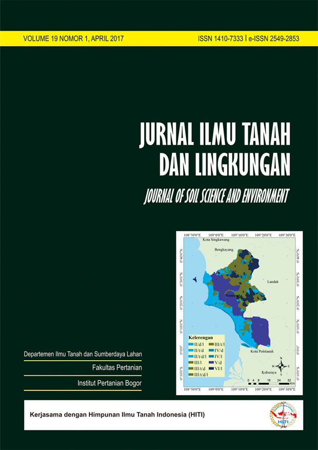
Evaluation of Actual Landuse and Official Spatial Land Use Planning in Pontianak Regency, West Kalimantan Province
Evaluasi Terhadap Penggunaan Lahan dan Pola Ruang dalam Rencana Tata Ruang Wilayah di Kabupaten Pontianak, Provinsi Kalimantan Barat
Abstract
Land needs to be planned for its use through the selection of land use which is in accordance with land capability, so that land use can provide high production and sustainability. The objective of this study was to evaluate actual land use and land use planning, based on land capability. The methodology is the confrontation between land capability, actual land use, and spatial patterns in the Spatial Plan. The research was conducted in Pontianak Regency. The result of the research shows that Pontianak Regency has the land capability class of II, III, IV, V and VI. Land class V, was dominant, covering 31% of the study area, with drainage as a limiting factor. Land class II covering 24% of the total area, with soil texture, drainage, and slope as a limiting factor. At present, 79% of the area of Pontianak Regency has land use which is in accordance with the land capability, while 21% of the area, its land-use exceeds its land capability. As much as 81% of the area of Pontianak Regency has been allocated in the Spatial Plan in accordance with land capability, while 19% of the area, the allocation of the spatial pattern exceeds land capability.
Keywords: Actual land use, land capability, spatial planning
Downloads
Department of Soil Science and Land Resources Departemen Ilmu Tanah dan Sumberdaya Lahan, Faculty of Agriculture Fakultas Pertanian, IPB University


