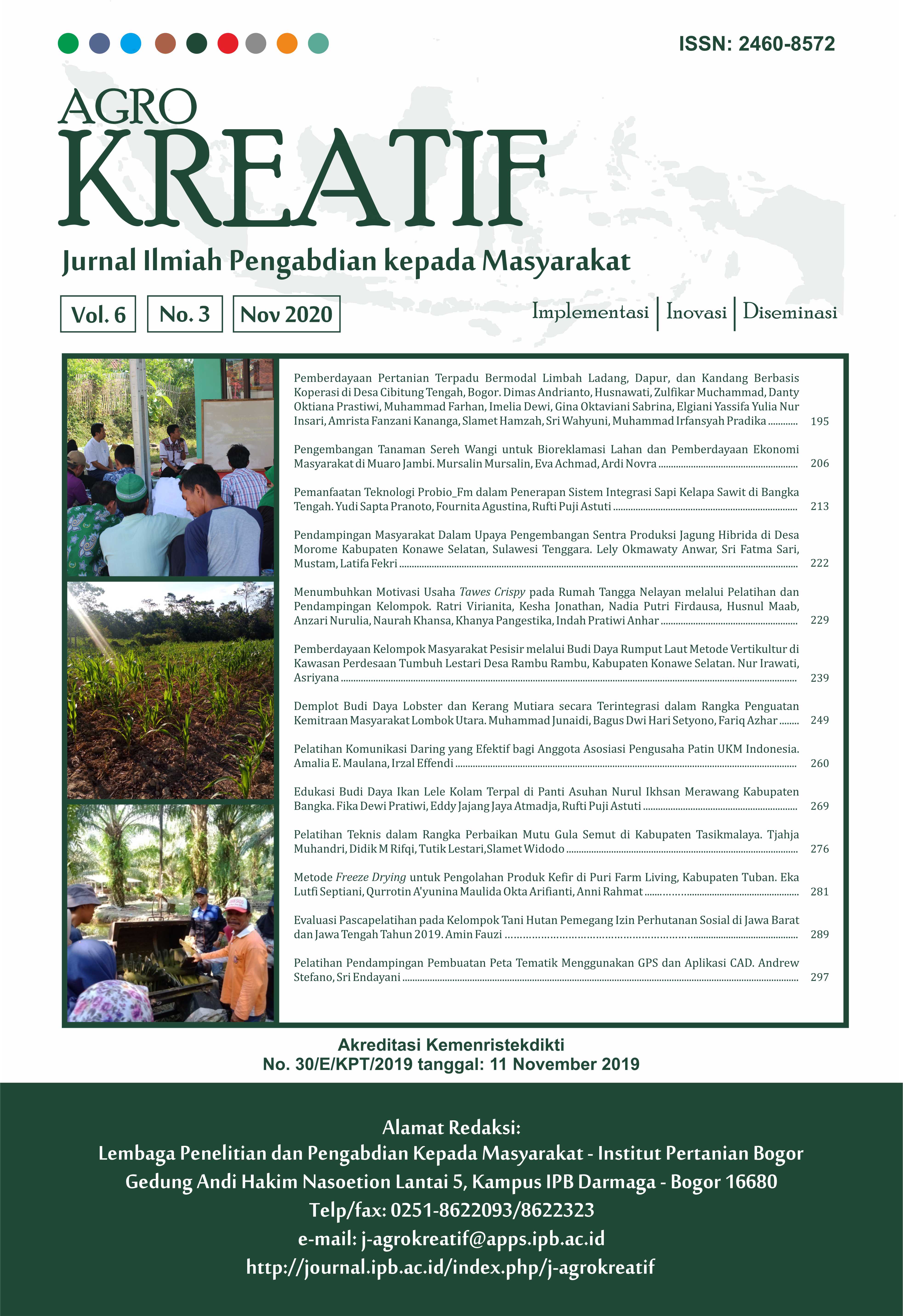
Pelatihan Pendampingan Pembuatan Peta Tematik Menggunakan GPS dan Aplikasi CAD
Abstract
One of the problems in the development of human resource professionalism so far is related to land issues (boundaries). The purpose of this activity is to provide training on the use of GPS and processing data using Autodesk map software. The training was attended by the village and sub-district staff of Samarinda City, as many as 50 people. The method used is 1) giving theoretical and practical knowledge about data collection and processing 2) assignment of making land boundaries per area, 3) presentation of results in the field and 4) output (boundary map). The results of this activity were: First, all participants of this training activity were very enthusiastic, enthusiastic, and had high motivation to take part in the implementation of the second boundary land making training activity, the participants who succeeded in making a land boundary map of 25 people or 50% of 50 participants. Third, the quality of the maps is quite good. They found differences in boundary map shape between version Samarinda City Bappeda and field data collection. Based on field data from the Bugis Kelurahan staff, the shape of the land boundary map in the Bugis sub-district in Samarinda almost resembles the land boundary map of Samarinda City of 2.5 ha, because Samarinda City Bappeda does not include the Segiri GOR Stadium as an area of Bugis sub-district that should be included as a map of the border. The map results from Samarinda Kota sub-district staff were recombined by sub-district and sub-district lurah to be determined as a map of sub-district Kota Samarinda and displayed in the A0 printout in each of the kelurahan offices located in sub-district Samarinda Kota.
Downloads
References
Ampadu EG, Gebreslasie M, Ponce AM. 2020. Mapping Natural Forest Cover Using Satellite Imagery of Nkandla Forest Mapping natural forest cover using satellite imagery of Nkandla forest reserve, KwaZulu-Natal, South Africa. Remote Sensing Applications: Society and Environment. 1‒18. https://doi.org/10.1016/j.rsase.2020.100302
Bradter U, O’Connell J, Kunin WE, Boffey CWH, Ellis RJ, Benton TG. 2019. Classifying Grass-Dominated Habitats from Remotely Sensed Data: The Influence of Spectral Resolution, Acquisition Time and the Vegetation Classification System on Accuracy and Thematic Resolution. Science of the Total Environment. 711: 1‒5. https://doi.org/10.1016/j.scitotenv.2019.134584
Brenner JC, Christman Z, Rogan J. 2012. Segmentation of Landsat Thematic Mapper Imagery Improves Buffelgrass ( Pennisetum Ciliare ) Pasture Mapping in the Sonoran Desert of Mexico. Applied Geography. 34: 569–575. https://doi.org/10.1016/j.apgeog.2012.02.008
Brown M, Sharples S, Harding J. 2013. Introducing PEGI : A Usability Process for the Practical Evaluation of Geographic Information. Journal of Human Computer Studies. 71(6): 668‒678. https://doi.org/10.1016/j.ijhcs.2013.01.004
Chen S, Wang W, Liang H. 2019. Evaluating the Effectiveness of Fusing Remote Sensing Images with Significantly Different Spatial Resolutions for Thematic Map Production. Physics and Chemistry of the Earth Parts A/B/C. 110: 71–80. https://doi.org/10.1016/j.pce.2018.09.002
Cobb DA, Oliver A. 1997. Online GIS Service. The Journal of Academic Librarianship. November (1997): 484‒497. https://doi.org/10.1016/S0099-1333(97)90173-7
Doyle S, Dodge M, Smith A. 1998. The Potential Of Web-Based Mapping And Virtual Reality Technologies For Modelling Urban Environments. Computers, Environment and Urban Systems. 22 (2): 137–55. https://doi.org/10.1016/S0198-9715(98) 00014-3
Gad S, Kusky T. 2006. Lithological Mapping in the Eastern Desert of Egypt , the Barramiya Area, Using Landsat Thematic Mapper (TM). Journal of African Earth Sciences. 44(2): 196–202. https://doi.org/10.1016/j.jafrearsci.2005.10.014
García-álvarez D, Lloyd CD, Delden HV , Teresa M, Olmedo C. 2019. Thematic resolution influence in spatial analysis. An application to Land Use Cover Change (LUCC) modelling calibration. Computers, Environment and Urban Systems. 78: 1–13. https://doi.org/10.1016/j.compenvurbsys.2019.101375
Hobbs F, Chan C. 1990. AutoCAD as a Cartographic Training Tool : A Case Study. Computer-Aided Design. 22 (3). 151–157. https://doi.org/10.1016/0010-4485(90) 90073-L
Hossain MK, Meng Q. 2020. A Thematic Mapping Method to Assess and Analyze Potential Urban Hazards and Risks Caused by Flooding. Computers, Environment and Urban Systems. 79: 1–19. https://doi.org/10.1016/j.compenvurbsys.2019.101417
Kabiri K, Rezai H, Moradi M. 2018. Mapping of the Corals around Hendorabi Island (Persian Gulf), Using WorldView-2 Standard Imagery Coupled with Fi Eld Observations. Marine Pollution Bulletin. 129 (1). 266–74. https://doi.org/10.1016/j.marpolbul.2018.02.045
Koshkarev AV, Antipov AN, Batuyev AR, Yermoshin VV, Karakin VP. 2008. Geo-Portals as Part of Spatial Data Infrastructures : Russian Academy-Supported Resources and Geoservices. Geography and Natural Resources. 29(1): 18–27. https://doi.org/10.1016/j.gnr.2008.04.005
Lu D, Li G, Moran E, Batistella M, Freitas CC. 2011. Mapping Impervious Surfaces with the Integrated Use of Landsat Thematic Mapper and Radar Data : A Case Study in an Urban-Rural Landscape in the Brazilian Amazon. ISPRS Journal of Photogrammetry and Remote Sensing. 66(6): 798‒808. https://doi.org/10.1016/j.isprsjprs.2011.08.004
Malczewski J. 2004. GIS-Based Land-Use Suitability Analysis : A Critical. Progress in Planning. 62(1): 3–65. https://doi.org/10.1016/j.progress.2003.09.002
Mason PJ. 2013. Remote Sensing | GIS. In: Reference Module in Earth Systems and Environmental Sciences. Elsevier Inc. https://doi.org/10.1016/B978-0-12-409548-9.02955-9
Mitchell PJ, Downie AL, Diesing M. 2018. How Good Is My Map? A Tool for Semi-Automated Thematic Mapping and Spatially Explicit Confidence Assessment. Environmental Modelling and Software. 108: 111‒122. https://doi.org/10.1016/j.envsoft.2018.07.014
Mitchell PJ, Downie AL, Diesing M. 2018. Environmental Modelling & Software How Good Is My Map ? A Tool for Semi-Automated Thematic Mapping and Spatially Explicit Con Fi Dence Assessment. Environmental Modelling and Software. 108: 111–22. https://doi.org/10.1016/j.envsoft.2018.07.014
Ottosen TB, Petch G, Hanson M, Skjoth CA. 2020. International Journal of Applied Earth Observation and Geoinformation. 84: 1‒12.
Petrognani S, Robert E. 2020. Reports Dating without Dates : Stylistic and Thematic Chronologies in the Paleolithic Painted Caves of Les Bernoux and Saint-Front ( Dordogne , France ). Journal of Archaeological Science: Reports. 31: (1‒9). https://doi.org/10.1016/j.jasrep.2020.102260
Puhr K, Schultz S, Pikelj K, Petricioli D, Petricioli TB. 2014. The Performance, Application and Integration of Various Seabed Classi Fi Cation Systems Suitable for Mapping Posidonia Oceanica ( L .) Delile Meadows. Science of the Total Environment. 470–471: 364‒378. https://doi.org/10.1016/j.scitotenv.2013.09.103
Rafaelli SG, Montgomery DR, Greenberg HM. 2001. A Comparison of Thematic Mapping of Erosional Intensity to GIS-Driven Process Models in an Andean Drainage Basin. 244(1‒2): 33–42. https://doi.org/10.1016/S0022-1694(00)00419-4
Ryu JH, Jong-kuk Choi JK, Lee YK. 2014. Potential of Remote Sensing in Management of Tidal Flats : A Case Study of Thematic Mapping in the Korean Tidal Flats. Ocean and Coastal Management. 102(B): 458‒470. https://doi.org/10.1016/j.ocecoaman.2014.03.003
Sardi J, Pulungan AB. 2019. Pelatihan Reparasi Dan Perawatan Alat Listrik Rumah Tangga Untuk Pemuda Pesisir. 3(1): 3–6. https://doi.org/10.30595/jppm.v3i1.2396
Smith DA. 2016. Online Interactive Thematic Mapping : Applications and Techniques for Socio-Economic Research. Computers, Environment and Urban Systems. 57: 106–117. https://doi.org/10.1016/j.compenvurbsys.2016.01.002
Steiniger S, Hunter AJS. 2013. The 2012 Free and Open Source GIS Software Map-A Guide to Facilitate Research, Development, and Adoption. Computers, Environment and Urban Systems. 39: 136–50. https://doi.org/10.1016/j.compenvurbsys.2012.10.003
Suyadi A, Nugroho B. 2017. Pelatihan Memanfaatkan Lahan Sempit untuk Budidaya Sayuran Organik. Jurnal Pengabdian dan Pemberdayaan masyarakat. 1(2): 95‒102. https://doi.org/10.30595/jppm.v1i2.1633
Thomas RF, Kingsford RK, Lu Y, Cox SJ, Sims NC, Hunter SJ. 2015. “Mapping Inundation in the Heterogeneous Floodplain Wetlands of the Macquarie Marshes, Using Landsat Thematic Mapper. Journal of Hydrology. 524: 194–213. https://doi.org/10.1016/j.jhydrol.2015.02.029
Wang X. 2005. Integrating GIS, Simulation Models , and Visualization in Traffic Impact Analysis. Computers, Environment and Urban Systems. 29(4): 471–96. https://doi.org/10.1016/j.compenvurbsys.2004.01.002
Dall’Agnol RW, Michelon GK, Bazzi CL, Magalhães PSG, De Souza EG, Betzek NM, Sobjak R. 2020. Web Applications for Spatial Analyses and Thematic Map Generation. Computers and Electronics in Agriculture. 172: 1‒13. https://doi.org/10.1016/j.compag.2020.105374
Yu L, Shi Y, Gong P. 2015. Land Cover Mapping and Data Availability in Critical Terrestrial Ecoregions : A Global Perspective with Landsat Thematic Mapper and Enhanced Thematic Mapper plus Data. Biological Conservation. 190: 34–42. https://doi.org/10.1016/j.biocon.2015.05.009
Zaslavsky I. 2003. Chapter 11-Online Cartography with XML. Maps and the Internet. 2003: 171‒196. https://doi.org/10.1016/B978-008044201-3/50013-X
Zeilhofer P, Topanotti VP. 2008. GIS and Ordination Techniques for Evaluation of Environmental Impacts in Informal Settlements : A Case Study from Cuiaba Central Brazil. Applied Geography. 28(1): 1–15. https://doi.org/10.1016/j.apgeog. 2007.07.009
This work is licensed under a Creative Commons Attribution-NonCommercial 4.0 International License.


