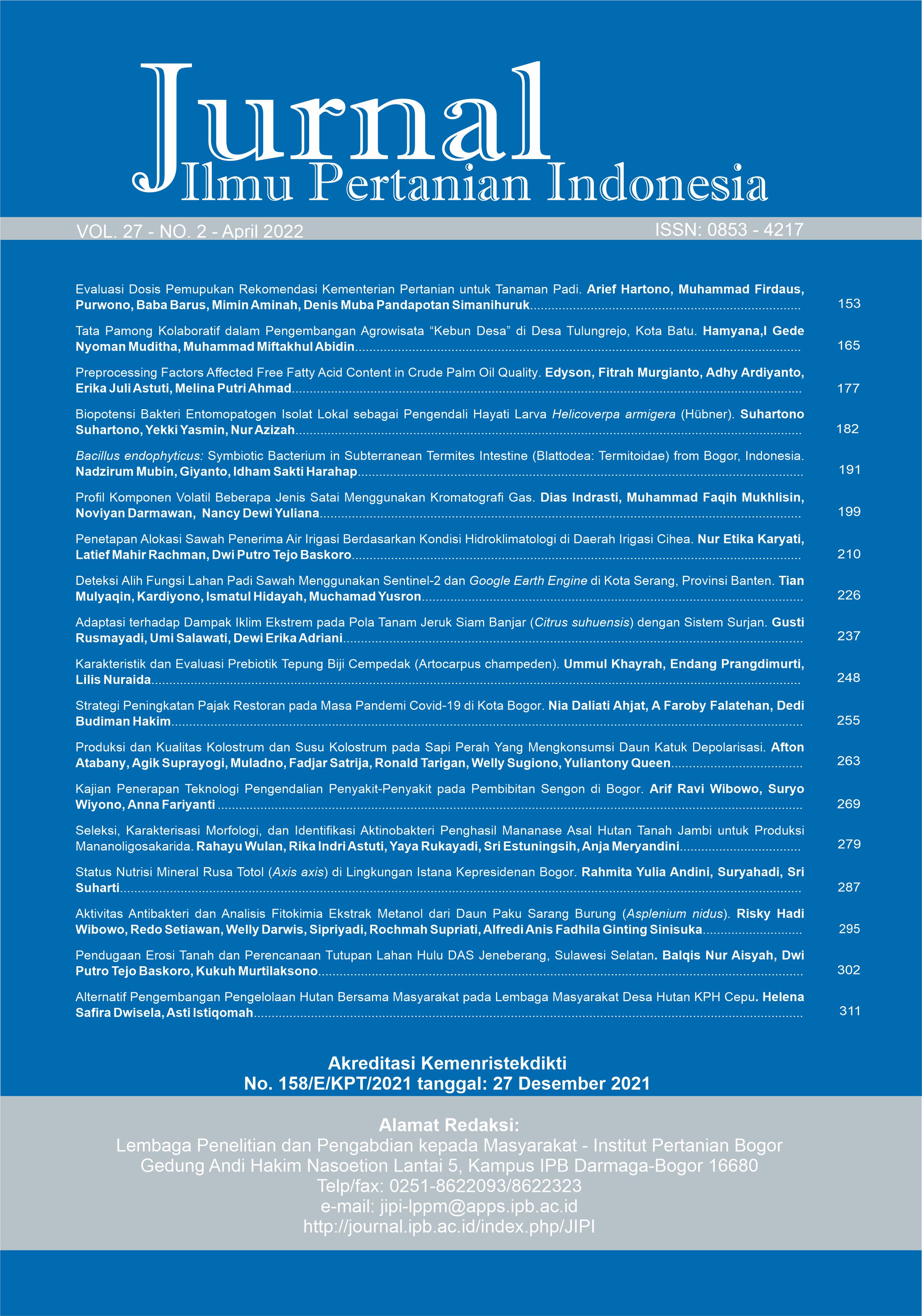
Pendugaan Erosi Tanah dan Perencanaan Tutupan Lahan Hulu DAS Jeneberang, Sulawesi Selatan
Abstract
Soil erosion is the main cause of land degradation. Jeneberang watershed is one of the priority watersheds in Indonesia. It has a big problem related to erosion in the upstream area. Jeneberang watershed is important area, its function is as water catchment for Bili-bili reservoir. It is served for flood control, irrigation water sources, water and hydroelectric energy supply. The aims of this study were to analyze the soil erosion prediction based on existing condition; develop an ideal land cover scenario to decrease soil erosion; and suggest land cover planning recommendations based on tolerable soil loss indicators in the upstream of Jeneberang watershed. This study was conducted using map overlay method to determine the value of the erosion factor. Erosion was predicted based on Universal Soil Loss Equation (USLE). Land scenarios and simulations was calculated by estimating the erosion in forest area and spatial planning land cover. The result showed that soil erosion of existing condition was approximately 813.1 tons/ha/year. The tolerable soil loss was only 22.9 tons/ha/year. The landuse scenario that chooses the lowest presumed erosion result is the implementation of spatial planning of Gowa district 2012-2032 with soil conservation technique applied. It can reduce erosion and sediment as 96.6% in upstream Jeneberang watershed.
Keywords: erosion, Jeneberang watershed, scenario, landuse
Downloads
References
Anaba LA, Banadda N, Kiggundu N, Wanyama J, Engel B, Moriasi D. 2017. Aplication of SWAT to Assess the Effect of Land Use Change in the Murchison Bay Catchment in Uganda. CWEEE. 6: 2440. https://doi.org/10.4236/cweee. 2017.61003
Arsyad S. 2010. Konservasi Tanah dan Air. Bogor (ID): IPB Press.
Auliyani D. 2020. Upaya Konservasi Tanah dan Air pada Daerah Pertanian Dataran Tinggi di Sub-Daerah Aliran Sungai Gandul. Jurnal Ilmu Pertanian Indonesia. 25(3): 382387. https://doi.org/10.18343/jipi.25.3.382
Banuwa SI. 2013. Erosi. Jakarta (ID): Prenadamedia Grup.
[Ditjen PDAS-HL] Direktorat Jenderal Pengendalian Daerah Aliran Sungai dan Hutan Lindung Kementerian Lingkungan Hidup dan Kehutanan. 2015. Rencana Strategi Direktorat Jenderal Pengendalian Daerah Aliran Sungai dan Hutan Lindung Tahun 2015-2019. Jakarta (ID): Sekretariat Ditjen PDAS-HL KLHK.
[FAO] Food and Agriculture Organization, [UNEP] United Nations Environment Programme. 1999. The Future of Our Land: Facing the Challenge [Internet]. Rome (IT): FAO dan UNEP. [diunduh 2018 Nov 23]. Tersedia pada: http://www.fao.org/ docrep/004/X3810E/ x3810e00.htm#TopOfPage.
Harjianto M. 2015. Kajian Perencanaan Pengembangan Usaha Tani Berbasis Murbei Berkelanjutan Di DAS Lawo [Disertasi]. Bogor (ID): Institut Pertanian Bogor.
Hendriarianti E. 2010. Analisis Isu Deforestasi Pada DTA Bendungan Lolak Kabupaten Boolang Mongondow Propinsi Sulawesi Utara. Spectra. 8(16): 3953.
Jorgenson AK, Burns TJ. 2007. Effects of Rural and Urban Population Dynamics and National Development on Deforestation in Less-Developed Countries, 19902000. Sociological Inquiry. 77(3): 460482. https://doi.org/10.1111/j.1475-682X.2007.00200.x
Kubangun SH, Haridjaja O, Gandasasmita K. 2016. Model Perubahan Penutupan/ Penggunaan Lahan Untuk Identifikasi Lahan Kritis Di Kabupaten Bogor, Kabupaten Cianjur, Dan Kabupaten Sukabumi. Majalah Ilmiah Global. 18(1): 2132. https://doi.org/10.24895/MIG. 2016.18-1.391
Lanyala AA, Hasanah U, Ramlan. 2016. Prediksi Laju Erosi Pada Penggunaan Lahan Berbeda di Daerah Aliran Sungai (DAS) Kawatuna Propinsi Sulawesi Tengah. e-J Agrotekbis. 4(6): 633641.
Nurdin FA, Bisri M, Rispiningtati, Priyantoro D. 2014. Studi Pemulihan Fungsi DAS Berdasarkan Tingkat Kekritisan Lahan dan Potensi Kelongsoran di Sub DAS Jeneberang Hulu. Jurnal Teknik Pengairan. 5(1): 2941.
Simanjuntak H, Hendrayanto, Puspaningsih N. 2017. Modifikasi Metode Perhitungan Faktor Topografi Menggunakan Digital Elevation Model (DEM) Dalam Menduga Erosi. Media Konservasi. 22(3): 242251.
Sutapa IW. 2010. Analisis Potensi Erosi Pada Daerah Aliran Sungai (DAS) di Sulawesi Tengah. Smartek. 8(3): 169181.
Sutono S, Kusnadi H, Djunaedi MS. 2005. Pendugaan Erosi Pada Lahan Sawah dan Lahan Kering Sub DAS Citarik dan DAS Kaligarang. hlm. 7992 dalam Prosiding Nasional Multifungsi Lahan Sawah. ISBN 979-9474-20- 5.
Tola KSK. 2012. Dampak perubahan penggunaan lahan terhadap debit puncak di hulu DAS Jeneberang [Tesis]. Makassar (ID): Universitas Hasanuddin.
Wahyunto, Dariah A. 2014. Degradasi Lahan Di Indonesia: Kondisi Existing, Karakteristik, dan Penyeragaman Definisi Mendukung Gerakan Menuju Satu Peta. Jurnal Sumberdaya Lahan. 8(2): 8193.
Wati Y, Alibasyah MR, Manfarizah. 2014. Pengaruh Lereng dan Pupuk Organik Terhadap Aliran Permukaan, Erosi Dan Hasil Kentang Di Kecamatan Atu Lintang Kabupaten Aceh Tengah. Jurnal Manajemen SDL. 3(6): 496505.
Wischmeier WH, Smith DD. 1978. Predicting rainfall erosion losses-a guide to conservation planning. Washington DC (US): USDA.
This journal is published under the terms of the Creative Commons Attribution-NonCommercial 4.0 International License. Authors who publish with this journal agree to the following terms: Authors retain copyright and grant the journal right of first publication with the work simultaneously licensed under a Creative Commons Attribution-NonCommercial 4.0 International License. Attribution — You must give appropriate credit, provide a link to the license, and indicate if changes were made. You may do so in any reasonable manner, but not in any way that suggests the licensor endorses you or your use. NonCommercial — You may not use the material for commercial purposes.


