Identification of Landslide Risk in the City of Bogor
Identifikasi Daerah Risiko Bencana Longsor di Kota Bogor
Abstract
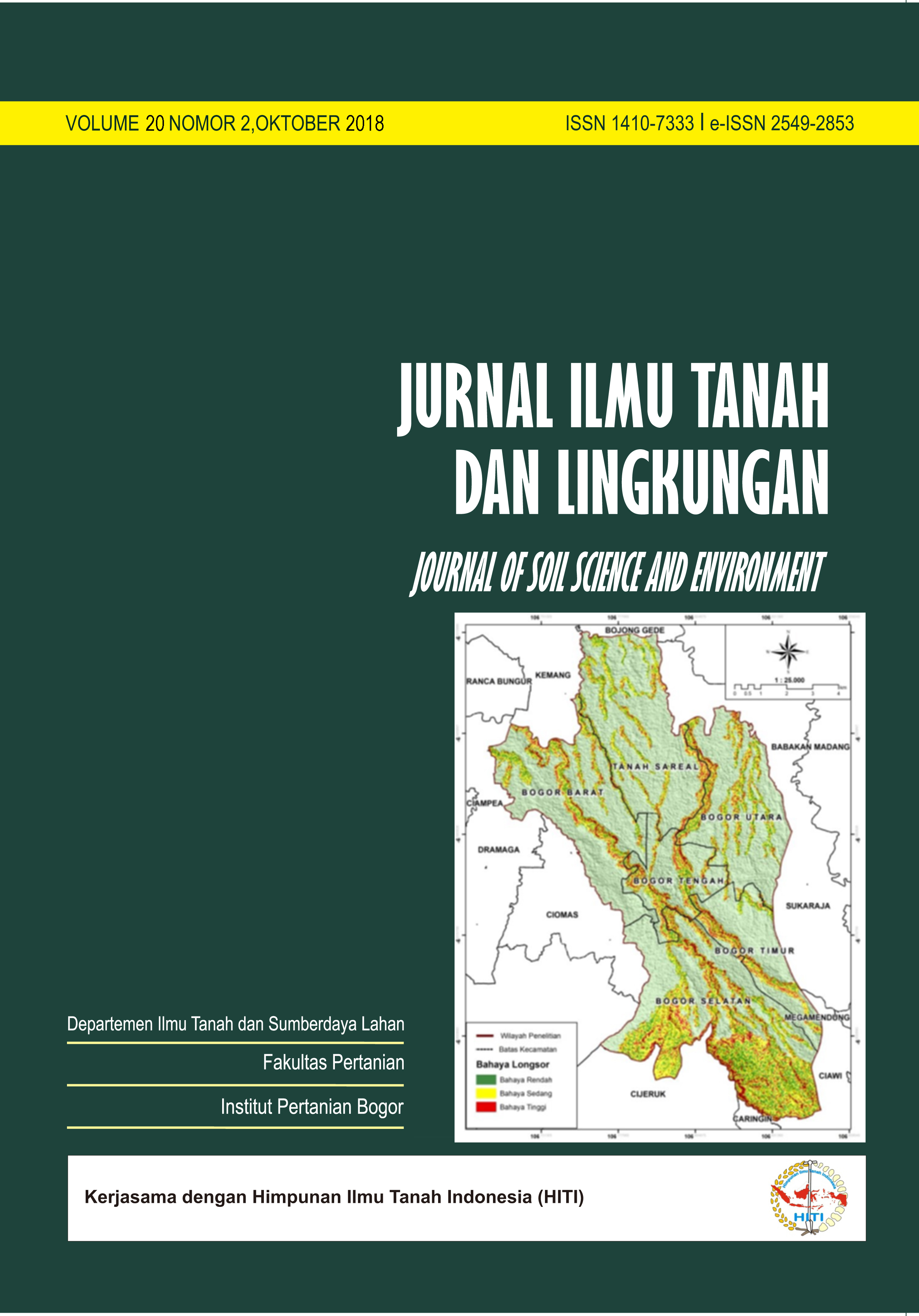
Landslide is one of the disasters that often hit Indonesia. Data collected from BPBD Office of Bogor City also shows that landslide events ranked first out of 6 types of disasters in Bogor City; in 2017 there were 179 landslides (40.5%) of the 442 recorded disaster events. To support development programs in the city, landslide risk research is needed. This study aimed to assess and map the risk of landslides in Bogor City and formulate mitigation recommendations. The method used is the Multi Criteria Evaluation where the weights and scores of each parameter are obtained from the Analytical Hierarchy Process (AHP). The results obtained show that the highest level of susceptibility and landslide hazard is in the South Bogor District, this is in accordance with the landform conditions in the region, where 60.5% of the area has landforms with steep slopes i.e. denudational volcanic cones, river banks, and valleys with alluvial terrace. However, for the highest risk, the extent area is located in North Bogor District. This is due to the dominance of residential and high population, so the vulnerability factor is an indicator of rising risk values. For Bogor City which is dominant with residential, recommended mitigation include 3 types of engineering, namely civil, vegetative, and social for medium and high risk classes. Bogor Selatan sub-district in this case is the district with the most extensive area to implement mitigation measures.
Downloads
References
[BNPB] Badan Nasional Penanggulangan Bencana. 2012. Peraturan Kepala Badan Nasional Penanggulangan Bencana No. 02 Tahun 2012 tentang Pedoman Umum Pengkajian Risiko Bencana. BNPB, Jakarta.
[BNPB] Badan Nasional Penanggulangan Bencana. 2016a. 2,342 Kejadian Bencana Selama 2016, Rekor Baru. https://www.bnpb.go.id/home/detail/3233/2.342-Kejadian-Bencana-Selama-2016,-Rekor-Baru-. [diakses tanggal 15 Agustus 2017].
[BNPB] Badan Nasional Penanggulangan Bencana. 2016b. Risiko Bencana Indonesia. BNPB, Jakarta.
[BPBD] Badan Penanggulangan Bencana Daerah Kota Bogor. 2017. Data kejadian bencana. BPBD, Kota Bogor.
[BPS] Badan Pusat Statistik Provinsi Jawa Barat. 2014. Jawa Barat Dalam Angka 2014. BPS, Bandung.
[BPS] Badan Pusat Statistik Kota Bogor. 2017. Kota Bogor Dalam Angka 2017. BPS, Kota Bogor.
Dibyosaputro, S. 1999. Longsor Lahan di Daerah Kecamatan Samigaluh kabupaten Kulon Progo, Daerah Istimewa Yogyakarta. Majalah Geografi Indonesia UGM, Yogyakarta.
[KLHK] Kementerian Lingkungan Hidup dan Kehutanan. 2015. Rencana Strategis Direktorat Jenderal Pengendalian Daerah Aliran Sungai dan Hutan Lindung tahun 2015-2019. KLHK, Jakarta.
Ramlan, A., M.S. Solle dan Seniarwan. 2015. Dinamika dan proyeksi perubahan penggunaan lahan di kawasan peri-urban Kota Makassar (Kawasan Mamminasata). Dalam Prosiding Pertemuan Ilmiah Tahunan XX 2015. Universitas Hasanuddin, Makassar.
Saaty, T.L. 1977. A scalling method for priorities in hierarchical structures. J. Math. Psycol., 5: 231-281.
Sari, V.P. 2016. Analisis risiko dan arahan mitigasi longsor di Kabupaten Agam Provinsi Sumatera Barat [Tesis]. IPB. Bogor.
Shaw, S.C. and H.D. Johnson. 1995. Slope Morphology Model Derived from Digital Elevation Data. Washington Department of Natural Resources. http://citeseerx.ist.psu.edu/viewdoc/summary?doi=10.1.1.530.1458 (diakses 8 Desember 2017).
Department of Soil Science and Land Resources Departemen Ilmu Tanah dan Sumberdaya Lahan, Faculty of Agriculture Fakultas Pertanian, IPB University